Mr. DePaulis has over 25 years of experience in land surveying. His areas of experience include but are not limited to ALTA/NSPS surveys, boundary, minor subdivisions, annexations, re-zones, topographic, construction, pipeline, utilities and other energy projects.
EXPERIENCE
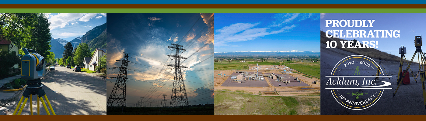
United Power Inc- Weld and Adams Counties, CO
Project manager in setting UP projects. Including pulling recorded documents and controlling monuments. Process data from field crews. Verify evidence for monuments records. Place properties and easements in CAD according to evidence. Route easements per client design. Assist in creating exhibits
and legal descriptions for said easements.
WAPA (Western Area Power Association)- Eastern CO to Western KS
Project manager for WAPA projects for a 1,200-mile power line expansion project. Researched all boundary records, provided search calculations and field support, and analyzed all data for completeness. Provided direction/mentorship for 10-12 field crews to search for and collect boundary corners, and boundary evidence as needed to support ROW acquisition/ALTA Surveys along the planned route.
Cedar Point Wind Farm- Limon, CO
Project manager for 50 square mile/ 200 turbine wind farm. Managed 10-12 field crews to search for boundary corners and collect boundary evidence in support of ALTA Surveys.
Flanagan South Pipeline– Minnesota
Project Manager of survey crews to obtain topographic survey data needed for the design of a 600-mile pipeline project. Worked closely with the Attorneys and BIA (Bureau of Indian Affairs) for Flanagan South ROW Acquisition and access. Managed and directed crews for boundary search and recovery to support ROW acquisition and easement creation. QA/QC field data for accuracy and completeness.
Line 3 Replacement–Minnesota
OH Power Mitigation Manager and Suedo Safety Representative of the Line 3 Replacement 600-mile pipeline project. QA/QC field data for accuracy and completeness. Managed and directed crews for boundary search and recovery to support ROW acquisition and easement creation.
Sandpiper Pipeline Project– Minnesota
Managed and directed crews for boundary search and recovery to support ROW acquisition and easement creation. Managed survey crews to obtain topographic survey data needed for design of this 600-mile pipeline project. QA/QC field data for accuracy and completeness.
Professional Certifications
Colorado Land Surveyor, #38105
Minnesota Land Surveyor, #45814
Education
B.S., Surveying Engineering- Ferris State University
A.S., Construction Engineering- Ferris State University